You must be logged in to use this feature
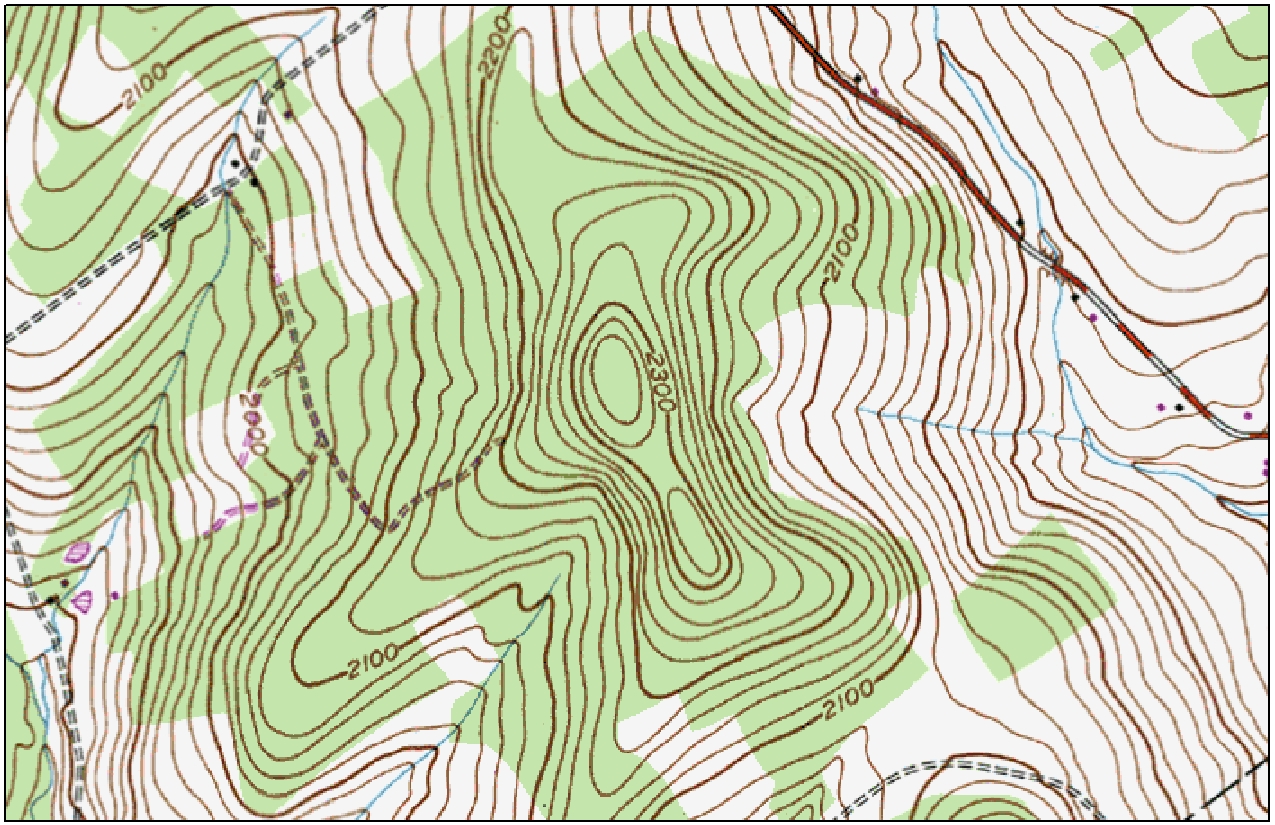
The United States Geological Survey has been creating maps since 1884, and they're all available online for free.
Free aerial photos and topographic maps can reveal a lot about your property, and a simple hike can turn into a natural history lesson when you can read the woods.
You can see a lot from your trails, but sometimes the best places are stumbled upon by accident. Get off the beaten path and explore your woodlot with the help of a map, compass, GPS unit, or smart phone.